The Steepest Highway in Arizona Will Make Any Driver's Palms Sweat, 12 Responsibly-Driven Facts about Sitgreaves Pass
New Zealand and Wales, two nations known for their natural beauty, were briefly at odds over who had the steepest street in the world.
But that was one street. It’s one thing to get up a steep hill and then get back down. Carefully hugging a car to a thin, twisty asphalt ribbon amidst the glaring desert sun and climbing 12% grades in some places—that’s more than one thing. That’s three things; it is a driving triathlon. And Sitgreaves Pass is the Ironman for that.
The Oatman Highway, Along the Legendary Route 66, Has a Steep and Twisty Stretch of Road with a Similarly Fraught History
©evenfh/Shutterstock.com
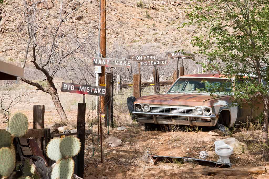
The 20-mile-plus experience of Sitgreaves Pass is part of the Oatman Highway. That highway stretch starts (or ends) in Oatman, AZ. This pass is a hard-to-forget driving experience that will definitely remind a person they’re alive.
Just How Steep and Twisty Is Sitgreaves Pass?
If measured by percentage—the rough estimate of how many vertical feet are traveled for every 100 horizontal feet—parts of the pass hit 12%. The number sounds unimpressive. But try this: go to a gym and put a treadmill at a 5% incline; it’s very noticeable.
According to a local paper in the region, the pass also reportedly has 191 curves over a particular eight-mile stretch. Calculating that, it’s a turn every 222 feet or about 24 turns per mile. Sitgreaves Pass has about 22 miles total, so that’s almost 200 curves in less than half of the span!
Travel Was Rough for the Pass Even Before Route 66
©Eric Poulin/Shutterstock.com
An early clash between Western pioneers and the Yavapai First Nations peoples gave Oatman, AZ, its name. Travel in this spot of Arizona continued to be treacherous. One of the early stretches of railway was abandoned in 1904 after just one year. Countless washouts made the track unusable, and nearly everything was pried up in 1912.
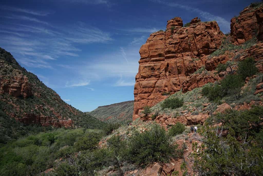
Washouts are still a problem along this rocky, canyon-strewn border between Arizona and Nevada.
An early attempt at a multi-state highway bypassed Oatman for Yucca, AZ. They may have had a good reason, given some ancient tectonic activity.
Ancient Volcanoes Created Some Literal Roadblocks for the Various Thoroughfares
©SB-CA-Hiker/iStock via Getty Images
Building a road is hard to do. That’s especially true when the builders have to literally blast away some of the hardest rock in the world. According to the University of Arizona, the area of Oatman and Sitgreaves Pass has a gnarly mix of soft terrain (silt, sand, gravel) and some of the hardest rocks on earth (granite, mixed volcanic rocks).
Building a road around inconsistently hard and soft terrain means a lot of rerouting. Having to level out a flat surface at a reasonable angle is probably why this serpentine road looks like the engineers were navigating a maze through the earth in real-time.
The Black Mountains Around Sitgrieve Pass Had a Gold Rush Before the Car Rush
©Atmosphere1/Shutterstock.com
One notable thing they found from digging in the earth around Oatman was gold.
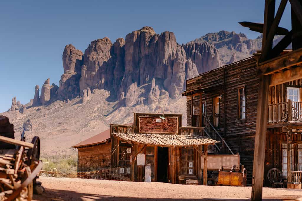
In 1863, a small gold discovery in the area drew in some prospectors. The desert town had some short-lived modest success as a mining community. Blasting away rocks, whether for roads or gold, apparently was their jam. Then, around 1915, two determined prospectors—who had earlier rolled the dice and took on investors to keep their operation going—struck a multi-million-dollar gold vein.
One adventure blogger posted, with a photograph, that there is still some mining activity in or around Oatman.
Route 66 Lent Some Publicity, Big-Time to Oatman
©gabriel12/Shutterstock.com
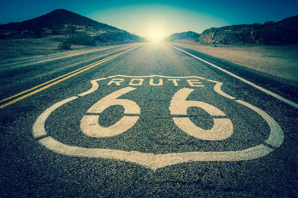
About a decade after this second gold strike, the historic Route 66 was built through Oatman. Sitgreaves Pass, part of the original route or “Mother Road,” is more specifically located between Oatman and Cool Springs, AZ. And when looking at the path highlighted on a map, the road does indeed both zig and zag. From a certain angle, the pass has the look of a kooky, curved EKG graph.
Early Motorists Had a Creative but Sometimes Deadly Solution for Navigating the Hills

©Suzanne Tenuto/Shutterstock.com
Today, there are at least six gas stations within 25 miles of Sitgreaves Pass if we look at an online map. That wasn’t the case in the 1930s and 40s. And a literally full gas tank was a bit more important back then.
Automobiles in mass production started getting fuel pumps in the 1920s. Before that, the gas tank operated by sinking into a feed pipe. A car that was low on fuel might sputter out going up a steep hill: gasoline would swish to the back of the tank and cut off the feed pipe.
For a decade or two, in the 1920s and 30s, a lot of cars still on the road didn’t have this new fuel pump. To leverage physics, enterprising drivers would put it in reverse, which forced gasoline to the front of the tank. This caused challenges, as anyone who’s tried to back up a trailer hitch knows: driving in reverse means tricky steering.
With so many knife-tip-sharp angles in the road, surrounded by steep desert drops and usually no guardrails, one wrong turn could be the end.
At 3500 Feet In Elevation, It Is Not Recommended for RVs or Very Large Vehicles
©iStock.com/alptraum
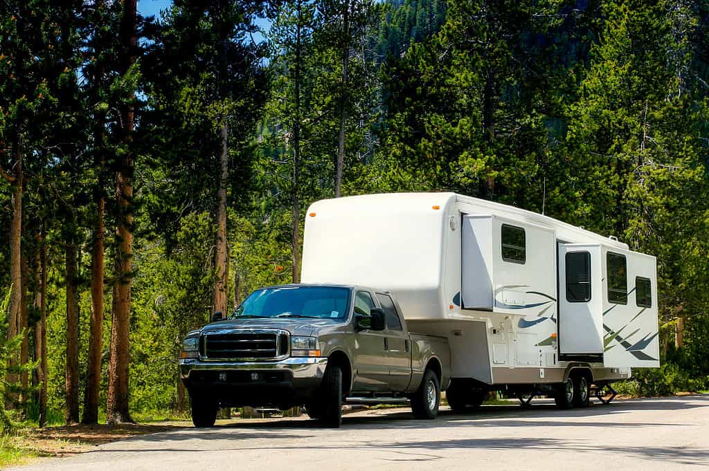
Poking through RV forums online, travelers say the twisty roads and sharp inclines are bad news for nearly any RV. This is in addition to Sitgreaves Pass’ high elevation. Most of the information online goes out of its way to recommend that RVers avoid this part of the original Route 66.
During a Reboot, Sitgreaves Pass Was Passed Over
©SunflowerMomma/Shutterstock.com
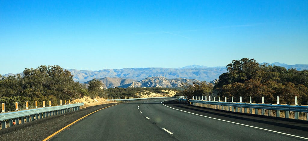
As the interstate highway system jackhammered its way across the nation in the 1950s and ’60s, Route 66 fell by the wayside (though it didn’t close, per se.) Highway 40, the interstate thoroughfare from North Carolina to California, passed through Arizona but was built south of Oatman and the famous Sitgreaves Pass.
More Creative Transportation History Around This Area

©Chalabala/iStock via Getty Images
In Cool Springs or Oatman, tourists and passersby may encounter wandering feral donkeys (who apparently like to get human foods). They are the descendants of pack animals from the mining days who decided the dry heat wasn’t so bad after all.
Another interesting mode of transportation that goes back a good ways in these parts is camel. Yes, camel. Before the Civil War, there was an ill-fated military project to utilize camels as transport. Edward Beale was an early Southwest explorer and military man for the U.S. In his trip through the area of what is now Oatman and Sitgreave Pass, he traveled by camel!
The Average (Recommended) Speed on Sitgreaves Pass Is Slow

©TutuIonatan/Shutterstock.com
The drive apparently takes about 45 minutes for a reasonably safe driver. On average, that’s about 30 miles per hour for 22 miles. Clicking through a VR map of the drive, a 20 mph speed limit sign can be spotted in one place.
There Are Plenty of Pull-Offs but Not Many Guardrails, Drive Safely
©RAW-films/Shutterstock.com
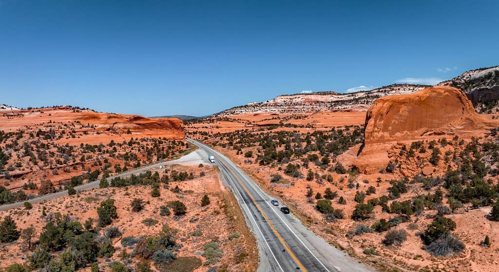
That same VR map shows large, dusty pull-offs to the side of the road. Most of them are right at a spectacular view of the surrounding desert.
After virtually zipping through this winding path, the guidebooks appear to be correct about the roadway: there are very few guardrails. Some sharper turns have short wooden posts with one or two lines of cable running through them, but that appears to be all.
The Sitgreaves Pass Memorial Is a Surprise Hub for the Highs and Lows of the Human Experience
There is a map/visitor page for the Murals and Memorial Center of Sitgreaves Pass. The center is listed as being in Golden Valley, AZ. There are almost 700 photos on the visitor page. This small collection of images on the internet about a road in rural Arizona is an unexpected cyclorama of human pathos.
Some of these photos do indicate the hazards of driving this pass. Some photos are of angel figurines; some are makeshift gravestones; some are paintings and messages scrawled onto rocks. There are many crosses.
But there are also photos of happy travelers, travelers of all ages mugging in the fiercesome Southwest sun. Some are older couples, and some appear to be solo travelers. There are photos of the nearby Wild West-style attractions. A few of the famous wandering burros of the region, descendants of the pack animals from mining, show up in the photos.
The Sitgreaves Pass does indeed pose a risk to any driver or explorer. And there have been many tragedies and some death along this adventurous bit of road. But there’s also quite a bit of life there as well.


