Where Does U.S. Route 89A Start and End?
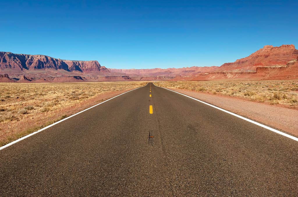
U.S. Route 89A, also known as the Fredonia–Vermillion Cliffs Scenic Road, is one of the most scenic drives in America. The 92-mile route running through Arizona and Utah winds past cliffs, canyons, forests, and rivers. Where does U.S. Route 89A start and end? Let’s read on to find out.
©Tashka/iStock via Getty Images
Where Does U.S. Route 89A Start and End?
U.S. Route 89A starts in Bitter Springs, AZ, where it branches from U.S. Route 89. It ends its journey in Kanab, UT, where it reconnects with U.S. Route 89.
Some of the highlights U.S. Route 89A passes by include:
- Lee’s Ferry
- Navajo Bridge
- Vermillion Cliffs
- Kaibab Plateau
- Navajo Nation
- Jacob Lake
- North Rim of the Grand Canyon National Park
- Arizona Strip
History of U.S. Route 89A
The current U.S. Route 89A was the original course when the federal highway system was established in 1926. However, the highway was rerouted through Page, AZ, when Glen Canyon Dam (one of the largest dams in the country) was built on the Colorado River in 1963. The highway became the alternative route to 89.
Driving U.S. Route 89A From Bitter Springs, AZ to Kanab, UT
The route goes for 92.7 miles, beginning at an elevation of 5,108 in Bitter Springs, AZ, and ending in Kanab, UT, with an elevation of 4,970.
Bitter Springs to Navajo Bridge at Marble Canyon
©Fine Art Photographs/Shutterstock.com
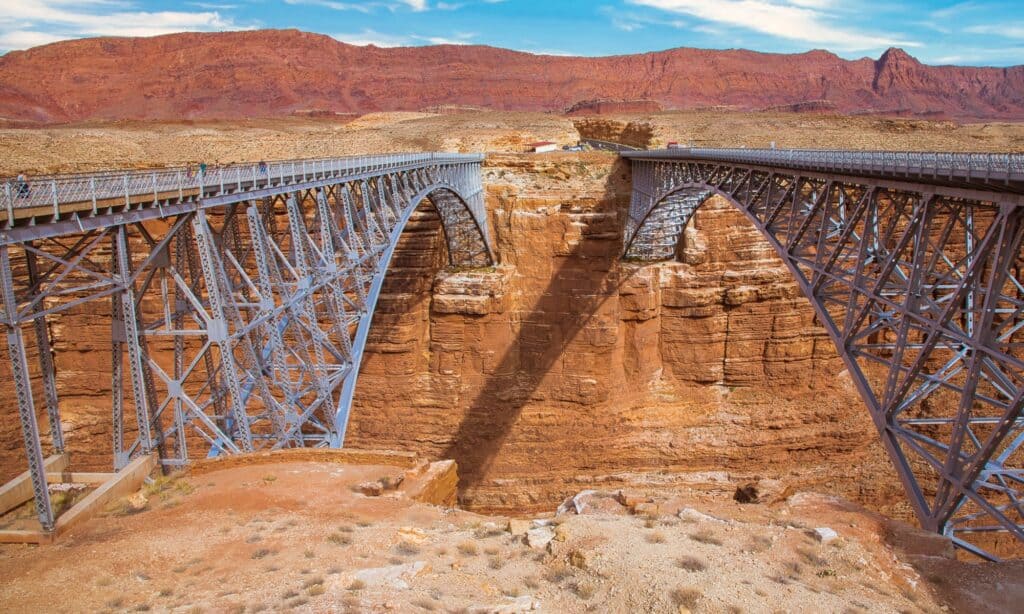
The first leg of 89A takes you to the Navajo Bridge that crosses Marble Canyon. There are actually two bridges, one for cars and one for pedestrian traffic. The pedestrian bridge is a historic bridge that was once the highest steel arch bridge in the world, making traveling between Utah and Arizona much easier. A new wider bridge was built in 1995, and the historic Navajo Bridge became a pedestrian walkway.
The best view of the canyon is along the pedestrian bridge. Park in the visitor’s lot and walk across the bridge to view the spectacular sight of the green Colorado River cutting through the orange canyon walls.
Other sights near Marble Canyon include Lee’s Ferry and the Lonely Dell Ranch. Lee’s Ferry is the only place within hundreds of miles where boaters and rafters can access the Colorado River from both sides. The Lonely Dell Ranch is the historic site where Jacob Hamblin, a Mormon missionary, established a small settlement.
Marble Canyon to Jacob Lake
©Kit Leong/Shutterstock.com
As the next leg of 89A takes travelers to Jacob Lake, it passes alongside the Vermillion Cliff, offering some amazing views. There are several trailheads for hiking, including the Vermillion Trails, Soap Creek, and Sun Valley Mine Trailheads.
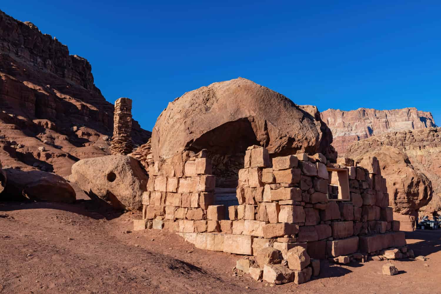
A famous stop along the way is one of Arizona’s smallest ghost towns, the Cliff Dwellers Stone House. The story of the stone houses is a fascinating one. During the Great Depression, Blanche Russell and her husband were moving to the southwest to help ease his tuberculosis. Their car broke down near the stunning rock structures along the side of the road. They liked the area so much, they built a house and restaurant into the rock formations. They spent ten years there before deciding to move on to a less isolated region. Today, visitors can stop and view the empty stone structures.
Another worthwhile stop is the House Rock Valley Overlook. The overlook stands 1,000 feet above the valley and provides incredible views of the Vermillion Cliffs, and even as far away as Marble Canyon.
Jacob Lake to Fredonia, AZ
©National Archives and Records Administration / Public domain – License
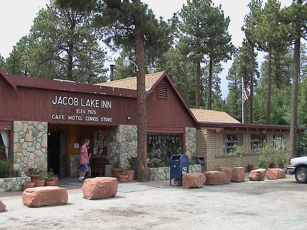
Jacob Lake is a small town on the Kaibab Plateau in Coconino County, AZ, known as the “Gateway to the North Rim of the Grand Canyon.” The North Rim is more laid back and less crowded than the popular South Rim. While the nearby Jacob Lake campgrounds offer campsites in the Kaibab National Forest.
As for the lake, it’s very small for a lake, and more of a small accumulation of water from rain and snow melt. Critical to the area, it’s one of the only permanent water sources on top of the Kaibab Plateau.
Before reaching Fredonia, travelers can rest at the Le Fevre Overlook and Rest Area, a popular stopping point where all the steps of the Grand Staircase are in view. The Grand Staircase is six thousand vertical feet of sedimentary rock layers that stretch for 100 miles.
Fredonia, AZ to Kanab, UT
©Fsendek/Shutterstock.com
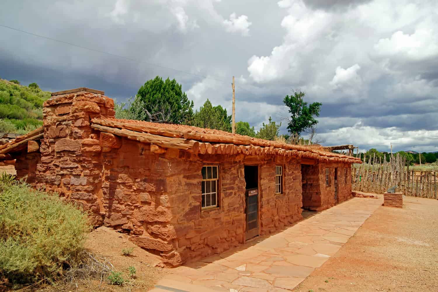
Fredonia is a small town with a population of about 1,300. Just four miles south of the Utah border, the closest large city to Fredonia is Las Vegas, about three hours away. Fredonia is known for popular attractions including the Red Pueblo Museum and the Pipe Spring National Monument. However, it’s most notably recognized as a base camp for visiting the North Rim of the Grand Canyon.
Kanab, UT: The End of Route 89A

©Que Images/Shutterstock.com
Finally, 89A terminates in Kanab, UT, intersecting with U.S. Route 89. Kanab is just north of the Arizona state line and it’s a small town known for Navajo sandstone cliffs and vistas of sagebrush.

