How Wide Is North Dakota? Total Distance from East to West
Bordered by Canada to the north, Minnesota to the east, South Dakota to the south, and Montana to the west, North Dakota’s boundaries create a tidy silhouette on the U.S. map. North Dakota’s geometric simplicity is a contrast to the irregular shapes of many other states, contributing to its visual appeal as an almost perfect rectangle, North Dakota is 211 (340 km) miles tall, But how wide is North Dakota? Its total distance from east to west is a whopping 340 miles (547 km). Continue reading to discover more about the Flickertail State.
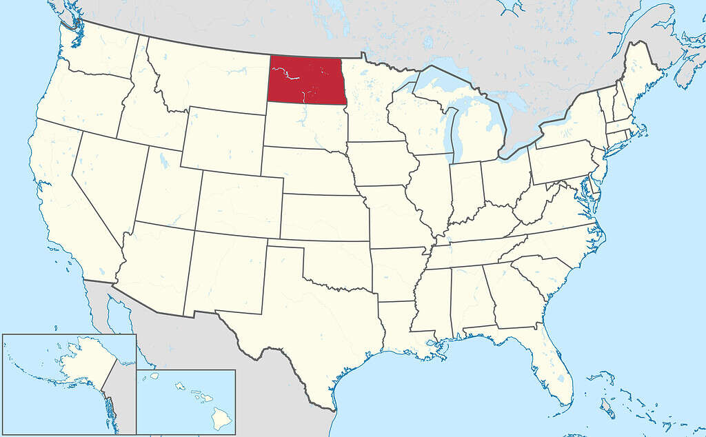
North Dakota’s boundaries create a tidy silhouette on the U.S. map.
©TUBS / CC BY-SA 3.0 – License
How Wide Is North Dakota? At-A-Glance
| Question | Answer |
|---|---|
| How wide is North Dakota? | 340 miles (547 km) |
| How tall is North Dakota? | 211 (340 km) |
| Where does North Dakota rank in total area? | North Dakota is the 19th largest U.S. state with a total area of 70,762 square miles (183,273 km2) |
| What is the capital of North Dakota? | The capital of North Dakota is Bismarck. |
| What is the state’s official state bird? | North Dakota’s official state bird is the Western Meadowlark. |
| What is the official state nickname? | North Dakota’s nicknames include the Flickertail State, the Roughrider State, and the Peace Garden State |
How Wide Is North Dakota?
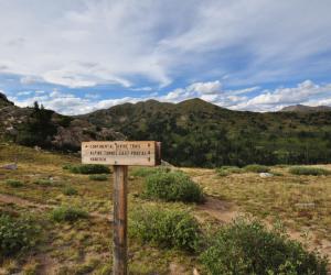
North Dakota is widest toward the southern part of the state. To the west, the widest part of North Dakota is in the Little Missouri National Grasslands. The Little Missouri National Grasslands. is a vast expanse of public land in Southwestern North Dakota. It is managed by the U.S. Forest Service as part of the Dakota Prairie Grasslands. The Little Missouri National Grasslands cover over a million acres. The grasslands are characterized by rolling hills and the scenic Little Missouri River. The nearest town is Marmarth. Marmarth is the largest town in the area, with a population that hovers around 100.
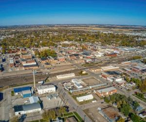
In the east, the widest part of the state is marked by the city of Wahpeton. Wahpeton is in Southeastern North Dakota, near the border with Minnesota. It is part of the Fargo-Moorhead metropolitan area. The city’s history dates back to the mid-19th century. Named for the Dakota Sioux word wahpe, meaning leaf, and ton, meaning dwelling place, the town was.
Wahpeton is located on the western bank of the Red River of the North, which forms the border between North Dakota and Minnesota. The Red River of the North flows northward between Minnesota and North Dakota The Red River starts at the confluence of the Bois de Sioux and Otter Tail rivers near Wahpeton, and flows northward, forming the border between North Dakota and Minnesota. The river continues its northerly flow into Manitoba, Canada.
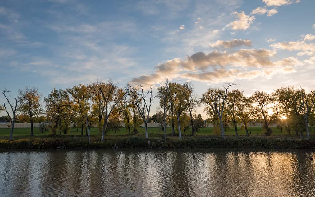
The Red River of the North forms the border between North Dakota and Minnesota.
©Tony Webster / CC BY-SA 2.0 – License
How Wide Is North Dakota? Wildlife
The southern part of North Dakota is dominated by prairies and grasslands. These habitats support a variety of wildlife including bird species like meadowlarks and pheasants. Mule deer, in the west, and white-tailed deer are common. The region supports a population of coyotes and foxes. Along riverbanks live beavers and muskrats. In North Dakota’s rivers, anglers cast their lines for walleye and northern pike. The Badlands region in the southwestern part of the state is home to pronghorn, and bighorn sheep, and bison. The Badlands support one of the largest bison herds in North America.
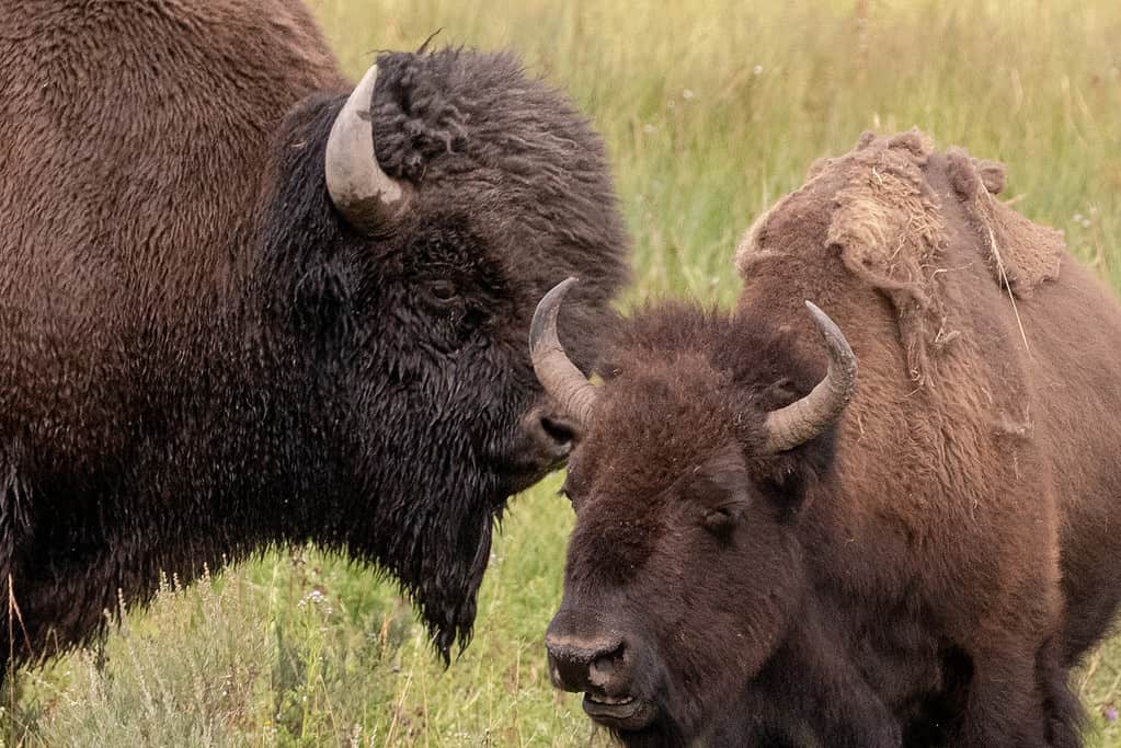
The Badlands support one of the largest bison herds in North America.
©iStock.com/htrnr
Plantlife
The flora of Southern North Dakota reflects the adaptability of plants to the region’s climate and soil conditions. Southern North Dakota principally consists of grasslands and prairies. s. Common grasses in the prairies include big bluestem, little bluestem, and switchgrass. Wildflowers such as purple coneflower, black-eyed Susan, and prairie rose add a pop of color to the landscape. Though prairie grass reigns supreme in the Badlands, hardy plants like sagebrush and juniper also grow there. Agriculture is also a significant part of the Southern North Dakota landscape. Crops like wheat, barley, flax, soybeans, and sunflowers are cultivated in the area’s fertile soil.
The photo featured at the top of this post is © Mio Buono/Shutterstock.com

